TRANSDAT 17.82 Details
Shareware 3.08 MB
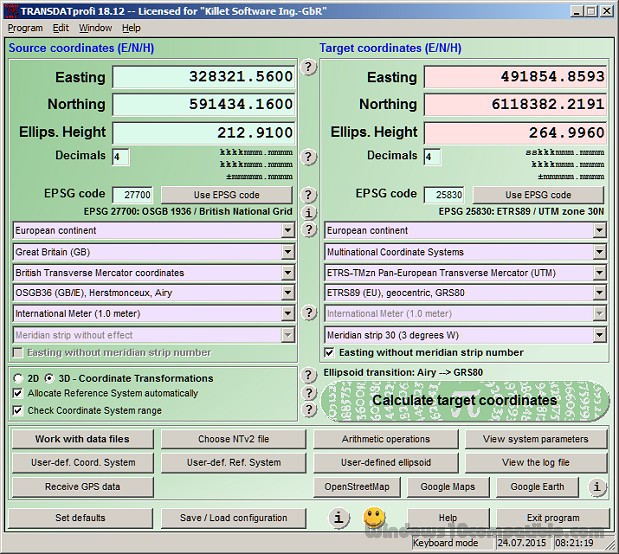
TRANSDAT Coordinate Conversion supports thousands of coordinate systems and geodetic datum shifts, user-defined systems, INSPIRE, NTv2, BeTA2007, GPS, continental drift, Shape, KML, CSV and other file systems and much more with highest accuracy. The current and historical coordinate and reference systems of all states of the European Union, the American State Plane systems NAD27 und NAD83 and most systems of other continents are supported.
Publisher Description
 TRANSDAT geosoftware executes coordinate transformations and geodetic datum shifts between many coordinate and reference systems of America, Australasia, Europe, Germany special and world-wide, with high precision and high speed: 1.The current and historical coordinate and reference systems of all countries of the European Union (EU) including the eastern extensions and the systems of non-EU countries. 2. The INSPIRE supported European ETRS89 systems. 3. The US and Canadian State Plane Coordinate Systems (SPCS) on NAD27 and NAD83 and other coordinate systems of the North American continent. 4. The coordinate and reference systems of the Australasian continent. 5. Many coordinate and reference systems of the countries of other continents. 6. World-wide NTv2 grid file supported coordinate transformations. 7. All global coordinate and reference systems. 8. The German coordinate and reference systems of the old and new federal states, the 40 Prussian Soldner Land Registers, the German Lagestatus, and exact reference systems of the German federal states. You will find a complete list of the coordinate and reference systems supported by the program on the web or after downloading the free test version of the program. The NTv2 standard with national grid files is world-wide full supported. Apart from the given world-wide and state-specific systems, your own personal coordinate systems and geodetic reference systems can be defined with Helmert (Bursa / Wolf, ISO 19111) or Molodensky parameters. Calculations can be performed with coordinates entered directly, loaded from files in various formats (Text, CSV, SDF, dBase, KML, ArcShape, ArcGenerate), or passed by batch processing. ArcShape files can be viewed with the internal Shape Viewer. A programmable GPS interface makes it possible to read coordinates from a low-cost GPS antenna. The program can be run on a network, in which case clients are installed automatically. The program has a multilingual interface.
Download and use it now: TRANSDAT
Related Programs
UTM Coordinate Converter
UTM Coordinate Converter, converts between various geographic coordinate systems, allowing you to convert between various Latitude/Longitudes systems and the Universal Transverse Mercator (UTM) system. It includes a map that displays the location you converter, as well the map allows to...
- Freeware
- 20 Jul 2015
- 61.96 MB
Shift Em Mania
Shift'em Mania is an amazing and fun tactical puzzle game with unique procedural generated levels where you play against AI or another Human. Your objective is to get your color balls to the bottom of a maze. Well, it's not...
- Freeware
- 21 Mar 2017
- 20.34 MB
Easy Data Transform for Windows
Transform Your Data Without Programming. Merge, clean, dedupe and reformat your data with a few clicks. Interactive: See the results of each transform immediately. Step-by-step: Break complex transformations down into steps. Simple: No programming required. Fast: Transform thousands of rows...
- Shareware
- 09 Jan 2020
- 21.15 MB
US State Flags Quiz
In this game you will be tested for your knowledge about US state flags. Each time you will be given a flag and a few choices of US state names, you need to pick up the one that uses the...
- Freeware
- 20 Jul 2015
- 655 KB
Solid State Doctor
The SSD Utility Suite is an essential tool to provide performance enhancement, SMART monitoring and data security for Solid State drives. This utility suite is a proactive support tool, giving you the ability to make informed decisions regarding your data,...
- Demo
- 20 Jul 2015
- 5.77 MB